This week, we’re unpacking three buzzwords you’ve probably heard in meetings or seen in reports: GIS, Demography, and Real‑Time Reporting. By the end, you’ll understand what they mean, why they matter in Nigeria, and how they power smarter decisions on the ground.
1. GIS: Mapping the “Where” of Everything
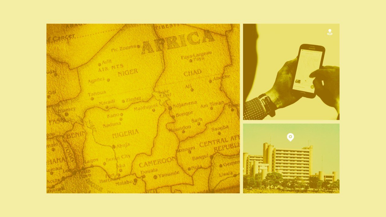
A Geographic Information System (GIS) is a software that links data to maps, letting you see not just what is happening, but where it’s happening. Think layers on a transparent globe: one layer shows roads, another shows rivers, another shows population density, and so on.
📍 Real-life in Lagos: In 2021, heavy rains flooded large parts of Lagos State. Using GIS, researchers overlaid rainfall data, elevation models, and drainage maps to pinpoint which LGAs were most at risk. With those flood‑risk maps, authorities could issue early warnings, plan drainage upgrades, and direct relief to the hardest‑hit communities.
📍 In public health: Imagine planning a vaccination campaign in a rural Nigerian area. A GIS map can show you the nearest clinics, the road network, and even seasonal flood zones that might cut off access during the rainy season. By knowing where the barriers are, health teams can reroute supplies or schedule mobile clinics, ensuring vaccines reach every village on time.
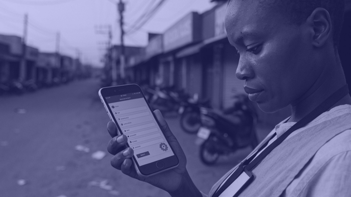
🔧 How WeCollect helps: WeCollect’s field tools make it easy for organizations to feed location-tagged data directly into GIS dashboards, turning field insights into fast, spatially accurate responses.
2. Demography: Understanding the “Who”
Demography is the statistical study of human populations, their size, structure (age, gender), and how they change over time through births, deaths, and migration.
🧒🏾 Case in Ekiti State: When planners there wanted to build new primary schools, they used demographic data to map concentrations of school‑age children by LGA. They discovered that some fast-growing towns had more children than classrooms, so they fast‑tracked school projects there instead of spreading resources thin.
Without current demographic data, many Nigerian communities risk being invisible during policy decisions. From maternal health to job creation, demography provides the blueprint for resource allocation.
🔧 How WeCollect helps: With WeCollect, NGOs and government teams can design mobile surveys, collect population data by ward or LGA, and analyze trends in real time—no waiting on outdated or incomplete census data.
3. Real‑Time Reporting: The “How Fast” Factor
What it is: Real‑time reporting means collecting and sharing data the moment it’s generated, not days or weeks later.
💡 Why it matters in Nigeria:
- During the 2020 COVID‑19 outbreak, the Nigeria Centre for Disease Control (NCDC) created a live dashboard that updated case counts and test results daily. This instant visibility helped hospitals prepare and policymakers act quickly.
- A grain trader in Kano wants to track maize prices across markets. Instead of calling contacts every morning, she taps into a live WeCollect feed from field agents uploading data via mobile phones. If prices spike unexpectedly, she adjusts her strategy before competitors react.
⚡ With WeCollect’s real-time reporting features, data from across Nigeria—health zones, schools, rural roads—flows instantly to dashboards. That’s how operations move from after the fact to in the moment.
Bringing It All Together
- GIS answers the where, by mapping spatial relationships.
- Demography answers the who by detailing population characteristics.
- Real‑Time Reporting answers the how fast, by delivering up‑to‑the‑minute insights.
When combined, these tools transform how Nigerian organizations operate, turning raw data into clear, local stories that drive better outcomes.
What’s Your Next Step?
It’s not about fancy terminologies. It’s about tools that help:
- A logistics coordinator in Onitsha reroute deliveries during floods
- A health NGO in Kogi reach the last village before vaccines expire
- A policy head in Jigawa identify LGAs left out of education planning
That’s what WeCollect is built for.
📩 Curious how WeCollect’s tools work for your next project—whether it’s market research, surveys, or infrastructure monitoring?
👉🏾 Book a free walkthrough or 👉🏾 Request a demo dataset to see how WeCollect helps you turn field data into faster, smarter decisions.
Let’s put data to work, so you can focus on what matters: delivering real results across Nigeria’s 774 LGAs.